DRONE DATA SOLUTIONS

Inspections | Surveying | Cinematography

RECENT WORK

TAFE NSW – Wagga Wagga
3D Aerial Mapping

Surveying

TAFE NSW – West Wyalong
Aerial Surveying

Surveying

WHO WE ARE

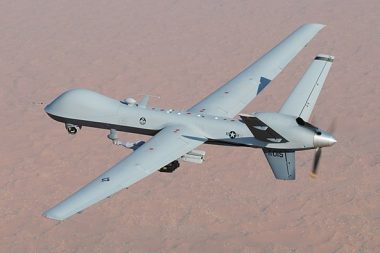
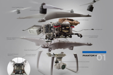
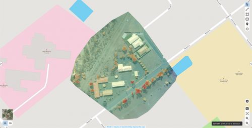
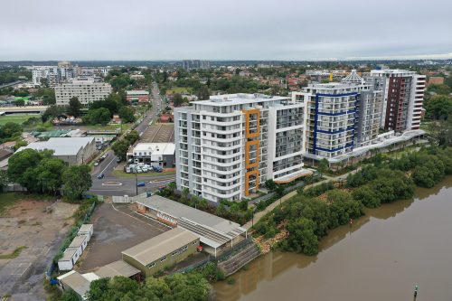
Spyre Air is a Sydney-based industrial and creative drone service provider. Our pilots are regularly seen inspecting rooftops and towers, mapping buildings, conducting LiDAR surveys of landscapes, and filming video for motion picture productions.
Contact us today to find out how we can capture data for your indutrial or creative needs.

Certified & Insured

We’re fully certified with the Civil Aviation Safety Authority of Australia, and backed by $20 million in public liability insurance.

Quality Approach

We insist on thorough research and planning for a data-driven execution of each and every project.

Safe & Reliable

We assess the potential risks associated with every project, and deploy all measures necessary to mitigate that risk.

Mapping &
Surveying

Event Video Production

Industrial Data Solutions

Corporate

Film & Television

Asset Inspection

LATEST POSTS

CONTACT US

Sydney, Australia

0413 864 515

hello@spyre.com.au