During the Easter NSW school holidays, Spyre Air was commissioned by Measure Australia to conduct aerial mapping missions across the board of TAFE NSW Riverina campuses. This project was part of a wider asset management & data validation services project involving both ground and aerial 3D photogrammetry across all TAFE NSW campuses.
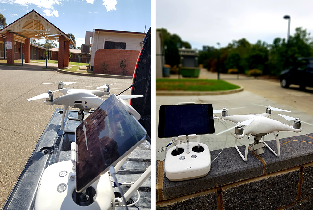
Overall, we were responsible for 7 campuses in the Riverina region, including Cootamundra, Temora, West Wyalong, Wagga Wagga, Codobolin & Lake Cargelligo. Undoubtedly the riskiest project we’ve had to tackle so far, considering our director, Matt Marchetta, ventured out on his own for the 6-hour drive into deep NSW with a single DJI Phantom 4 Pro and no redundancy. Happy to say, the week-long tour was a complete success.
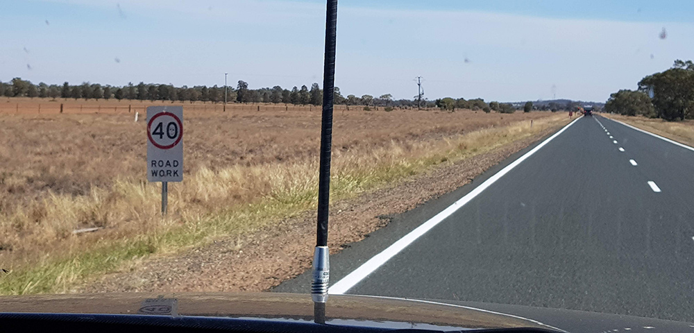
We kicked off with Condobolin and finished at Wagga Wagga, and just by coincidence, each campus gradually got better and better, starting with Condobolin’s two tin buildings. Driving through the middle of NSW was an experience in and of itself, and a serious realisation of the effects of drought. Just when you think you’re enjoying a break from Sydney traffic, it turns out you can still come across 40km/h construction zones on 100km straight roads with absolutely nothing around you.
We were required to conduct 3 different missions –
1st Mission
Flight type: Double Grid
Camera Angle: 15 degrees from Nadir
Front overlap: 80
Side overlap: 80
Height: 80m
Offset: Height of building
Camera: Auto
Mission speed 15m/s
Polygon – 20% bigger than the target mapping area (building cluster only)
2nd Mission
Flight type: Single Grid
Camera Angle: 0 degrees
Front overlap: 70
Side overlap: 70
Height: As low to the roof as safely possible – generally 10-15m higher than the tallest roof component.
Offset: Height of building
Camera: Auto
Mission speed 15m/s
Polygon – exact size of the target mapping area
3rd Mission
1 x Marketing shot at height of whole campus
Our mapping software of choice is Pix4Dmapper.
Recent Comments